Water and Sanitation for thew Urban Poor (WSUP): Practice Note 3: GIS & mapping tools for water and sanitation infrastructure, 2011.
Download Full-text (pdf)
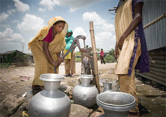
Recently developed tools that enable web-based geographical representation of data have exciting applications in the design and monitoring of WASH systems. This note introduces three tools currently being used in the sector.